Start/Finish: Cockburnspath to Lauder
Terrain: Nice variation, mostly easy running
Transport: Perrymans Buses serve Cockburnspath from Edinburgh, and there's a good service back to Edinburgh from Lauder (First Buses)
Route: Route Map | Garmin Course
Southern Upland Way Stages: 1 [2] [3] [4] [5] [6] next

Summary:
This section of the way is packed with variety - from coast to moor, roads, fields, but always easy running and nice open views of a very pleasant part of the country. Note: route is totally rural - no shops.
Blog:
Until now I've made the mistake of assuming the trail-running season lasts from about March to October. The crazy December of 2010 would back this up! However it is now clear to me that some of the best days of the year to be out on the trails can occur in the midst of Winter - I'm thinking bright, frosty, still, yet no midgies (!) and the boggy bits are rock solid. That's almost how it was when Lucy and I ran this section of the Southern Upland Way.


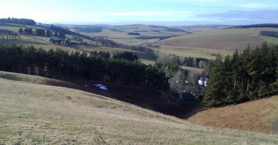
From here there's a very pleasant run up a glen and through the trees before more rolling hillsides and views. Although the route is always at modest altitude it does have its fair share of ups and downs along the way - which was fine for us, we didn't come here for a boring flat run.

After Longformacus, another small hamlet, there's a couple of miles of road-running along a lane which gains height easily up to the Watch Reservior, and so the scenery changes yet again as we climb up into moorland with extensive views of the Chieviots and border hills.

Other Southern Upland Way Stages: 1 [2] [3] [4] [5] [6] next
No comments:
Post a Comment